Aerial Views & Flood Damage
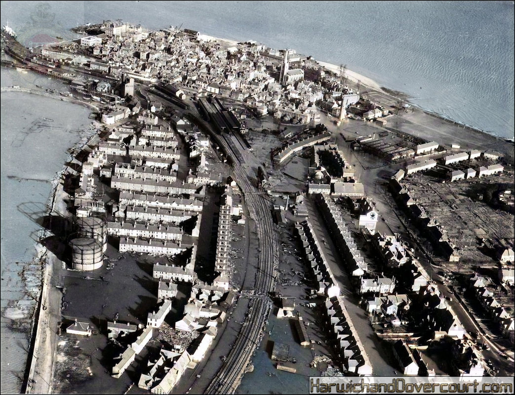
~ 01 A 48287 (1953) Aerofilms & Aero-Pictorial Ltd H&D FW ~
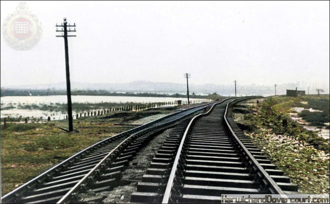
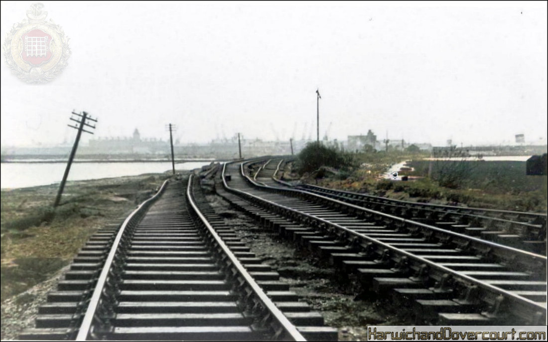
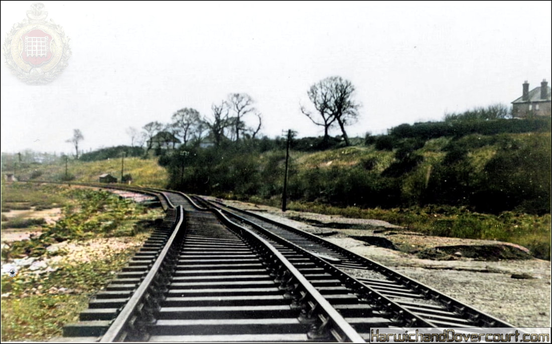
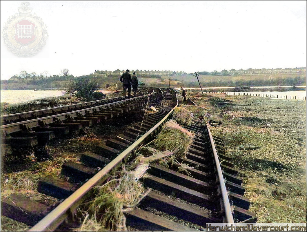
The night of the 31st January 2024 marked the 71st anniversary of the East coast floods - described as the worst national peacetime disaster to hit the UK.
On the night of Saturday 31st January 1953 and morning of 1st February 1953 the North Sea was experiencing spring tides. A deep Atlantic depression passed to the north of Scotland and moved southeast down the North Sea. The northerly gales on the western side of this depression forced sea water south at the time of high tide, causing a tidal surge down the North Sea which locally exceeded 5.6 metres (18.4 ft) above mean sea level. The winds also generated very large waves in the North Sea that damaged coastal defences. A maximum gust of 126 mph was observed at Costa Hill, Orkney as the storm centre pressure fell to 964 hpa over the northern North Sea.
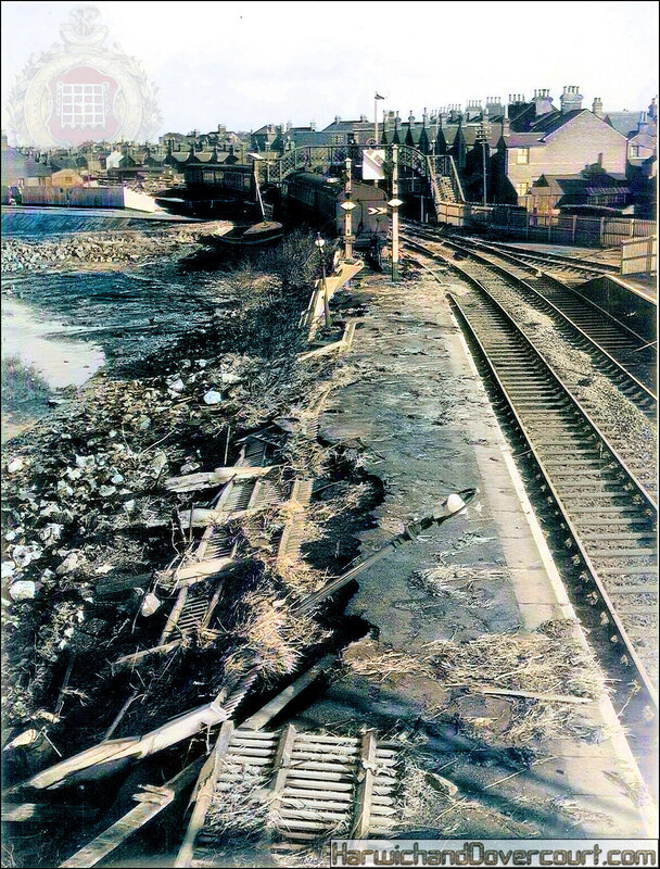
The combination of high spring tides, storm surge, winds and very large waves resulted in sea defences being overwhelmed in some locations, leading to extensive flooding. In England, 307 people were killed in the counties of Lincolnshire, Norfolk, Suffolk and Essex. Nineteen were killed in Scotland, whilst 1,800 people lost their lives in the Netherlands.
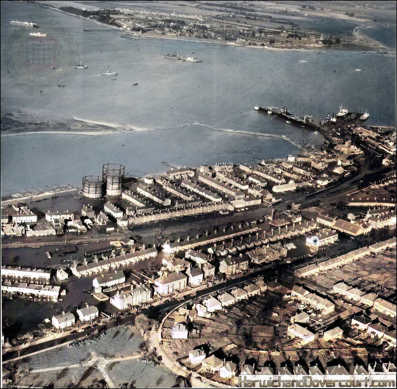
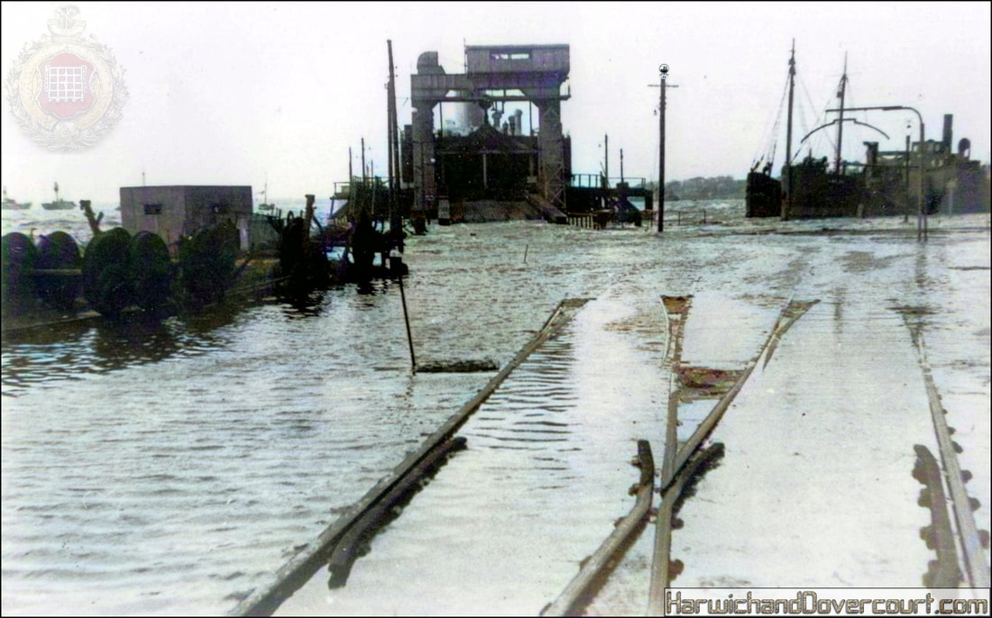
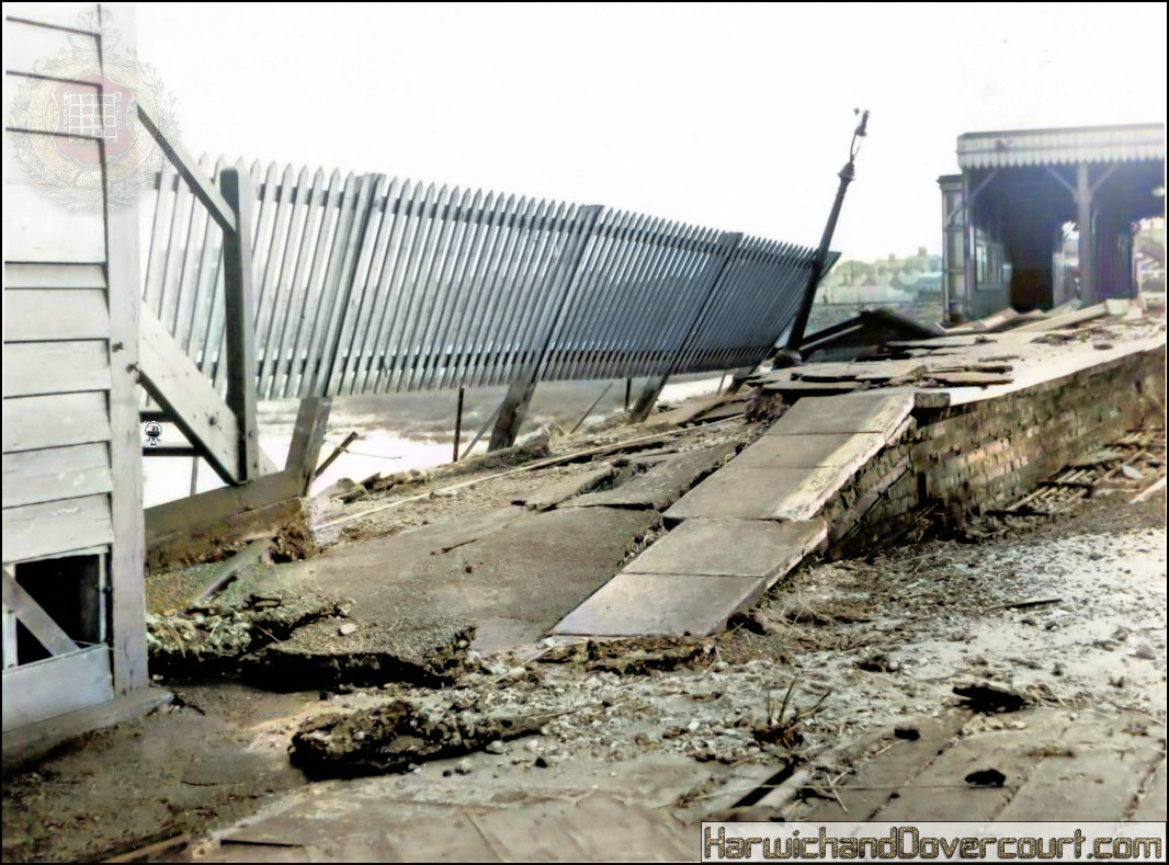
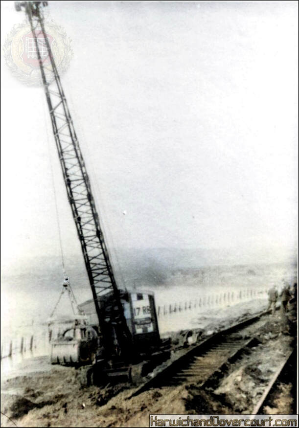
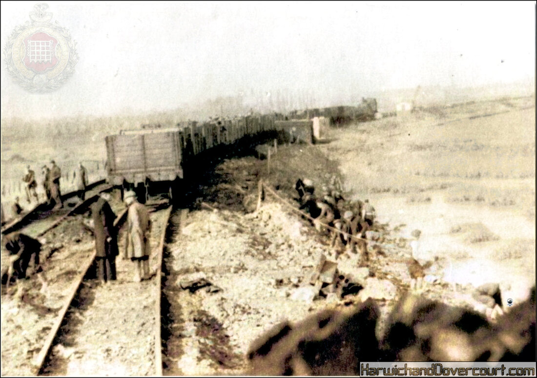
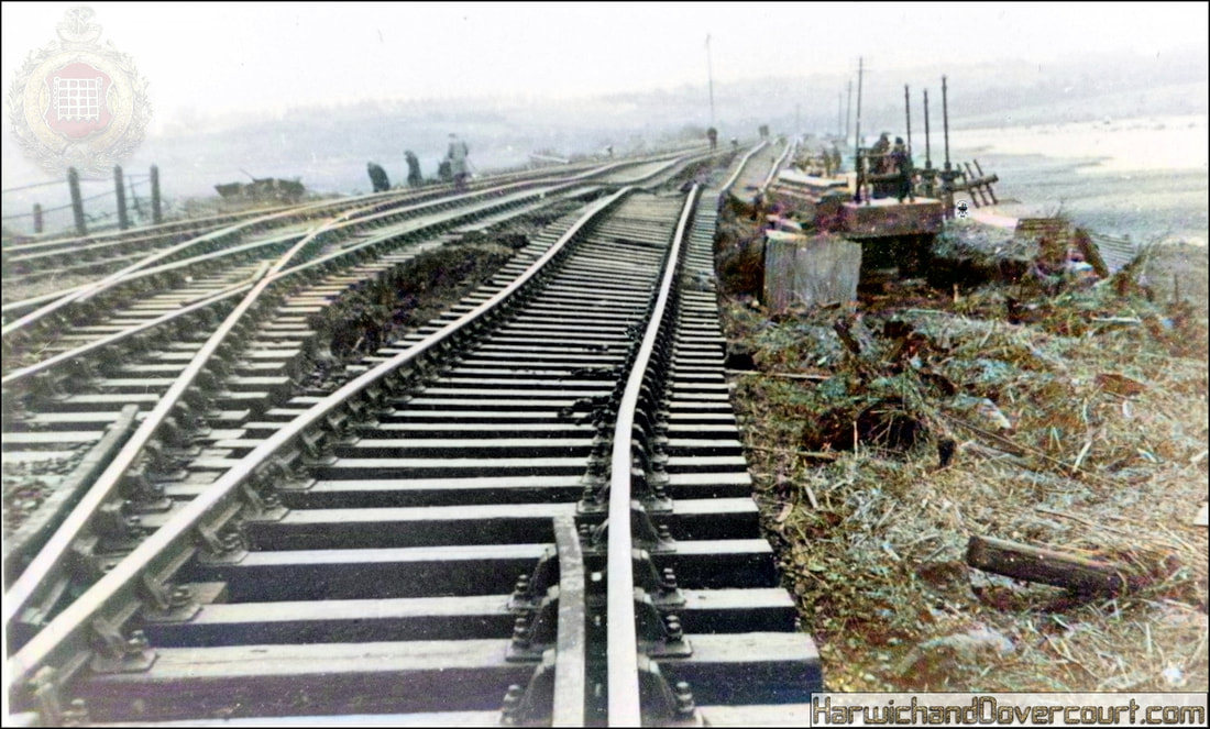
In addition : 32,000 people were evacuated, 160,000 acres of land was inundated with sea water and not usable for several years, estimated damage ran to £50 million at 1953 prices, approximately £1.3 billion at today's prices, Infrastructure including power stations, gasworks, roads, railways, sewage services and water services was put out of action.
~ 02 A 48288 (19--) Aerofilms & Aero-Pictorial Ltd H&D FW ~
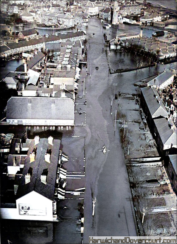
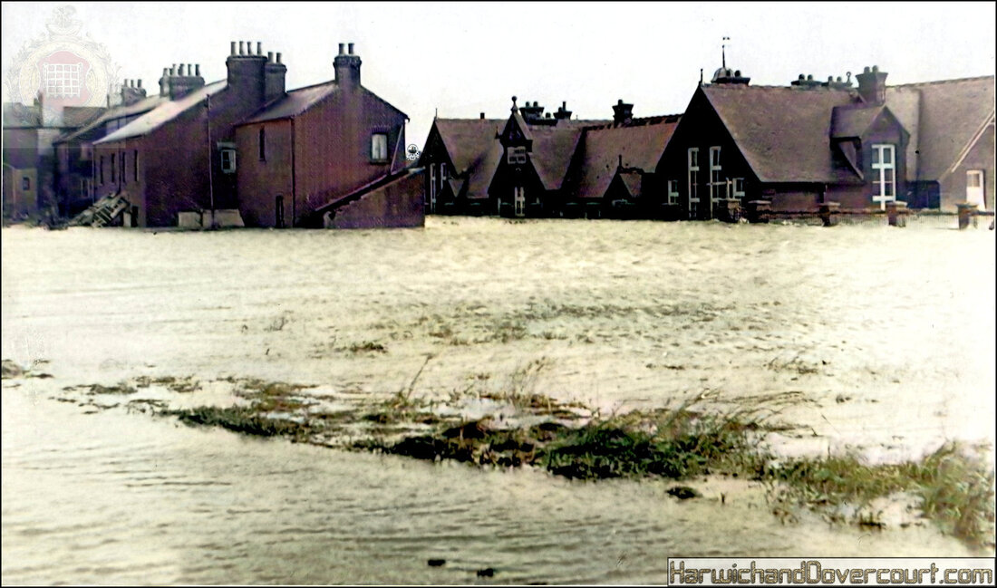
~ 03 Main Road, towards Harwich, Essex (1953) H&D FW ~
~ 04 Main Road, Harwich (1953) H&D FW ~
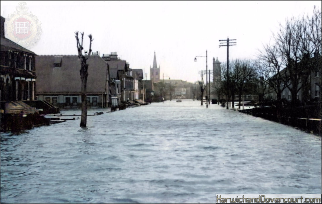
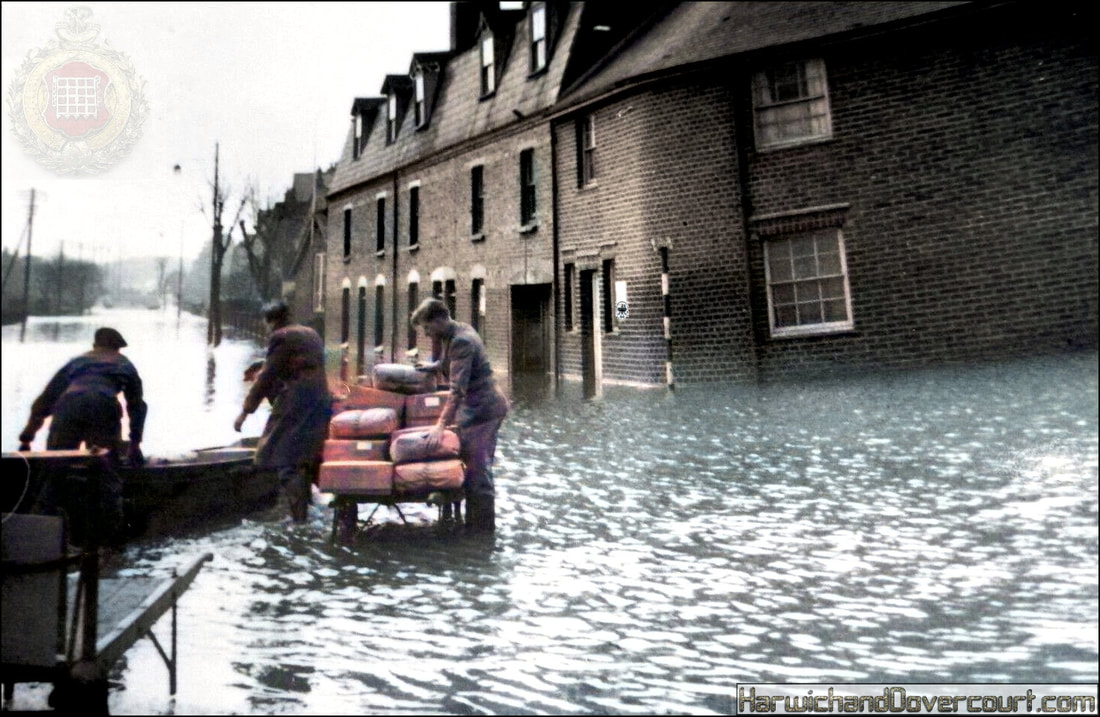
~ 05 Main Road, Harwich, towards Dovercourt (1953) H&D FW ~
Deliveries continue unabated
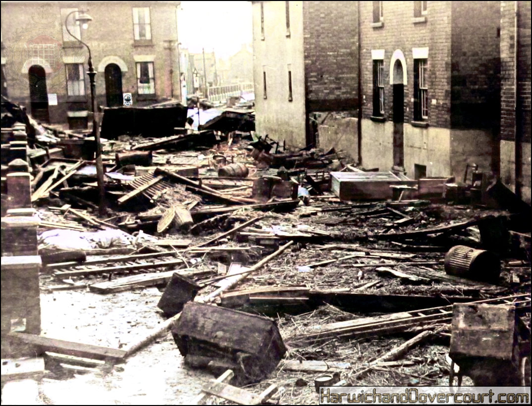
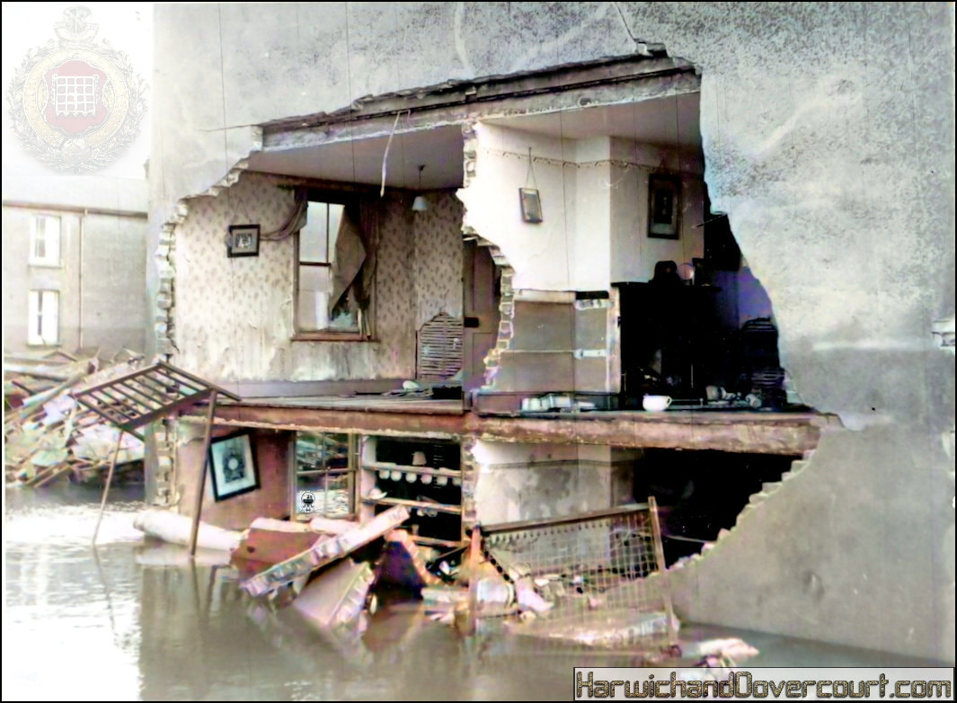
~ 06 Abermarle St, Harwich (Total devastation & Chaos) H&D FW ~
~07 Bathside House Damage II (Back of House) H&D FW ~
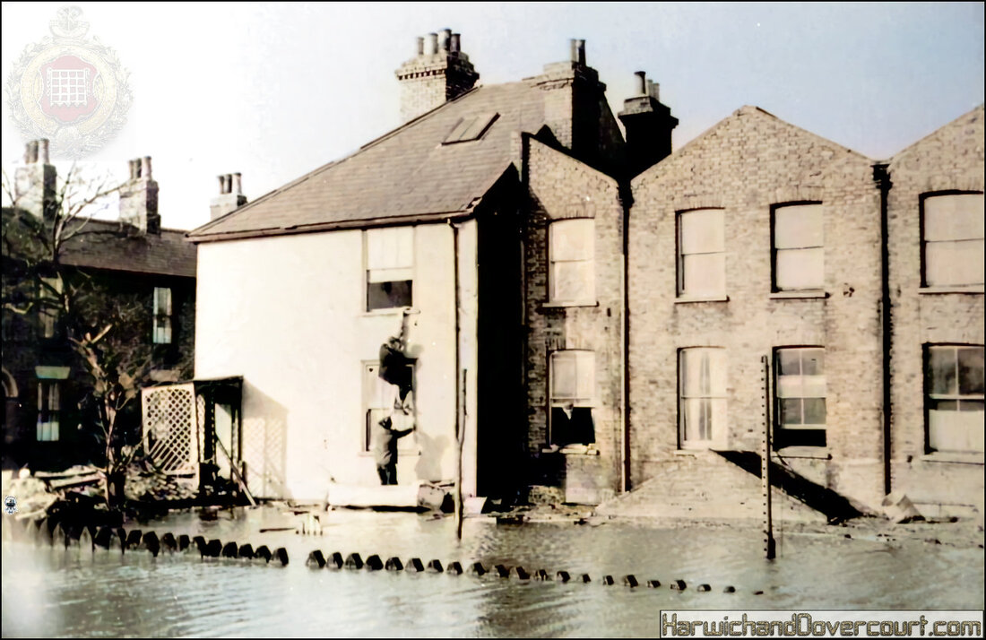
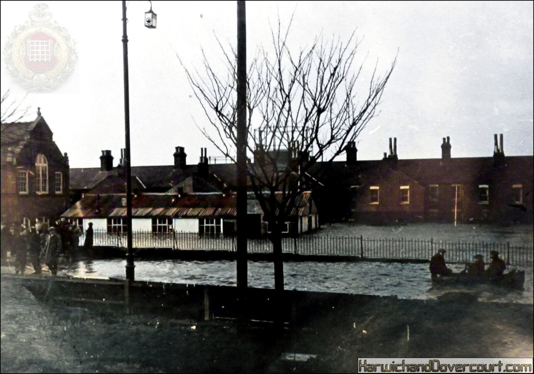
~ 08 Albert Street, Harwich (Flooded Gardens) H&D ~
Residents escaping to the small boats
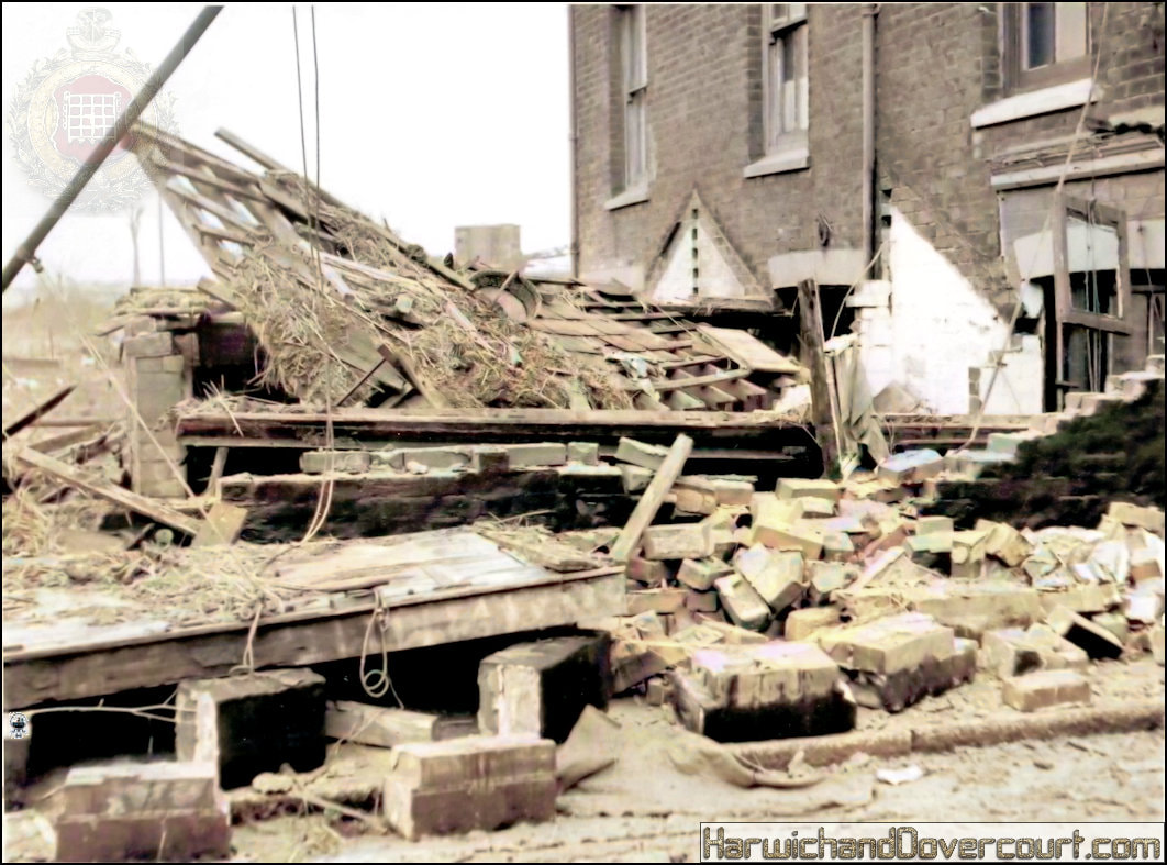
~ 09 Alexandra St, Harwich (Collapsed Wall) H&D FW ~
The Great Flood of 1953
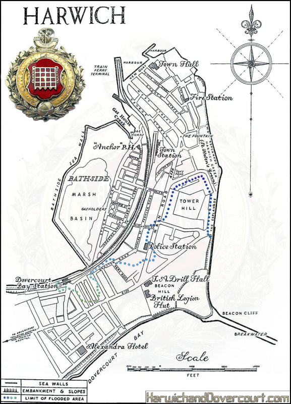
During the Great Flood of 1953 which took place on the night of 31st January / 1st February, 300 people in the east of England lost their lives, 8 of these were in Harwich, hundreds were also left homeless.
During the Great Flood of 1953 which took place on the night of 31st January / 1st February, 300 people in the east of England lost their lives, 8 of these were in Harwich, hundreds were also left homeless.
