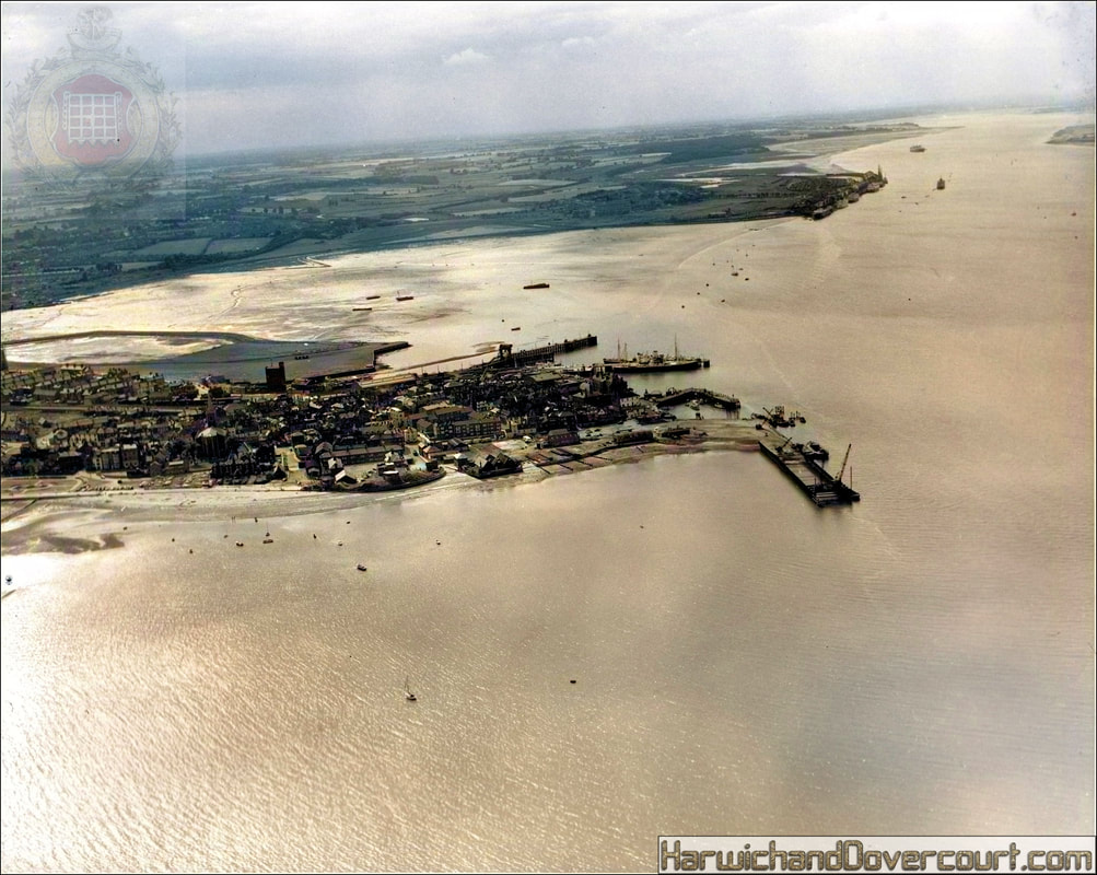
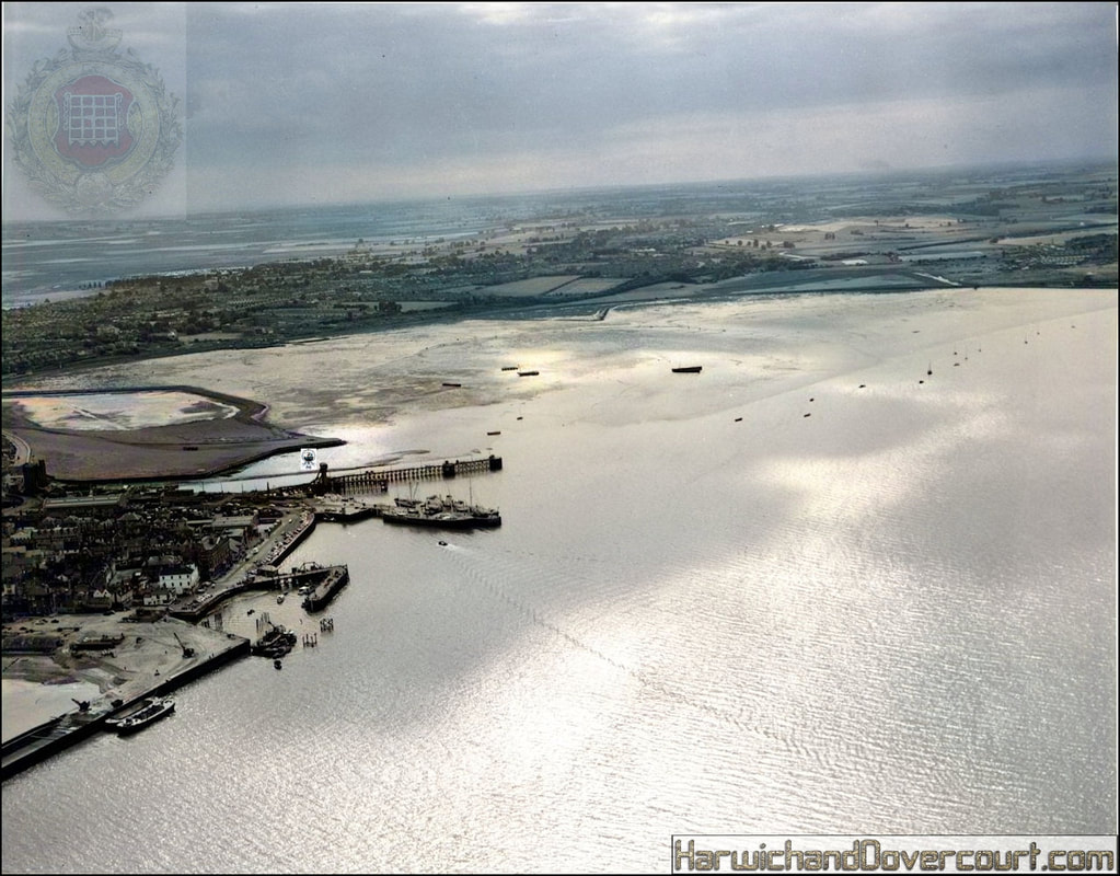
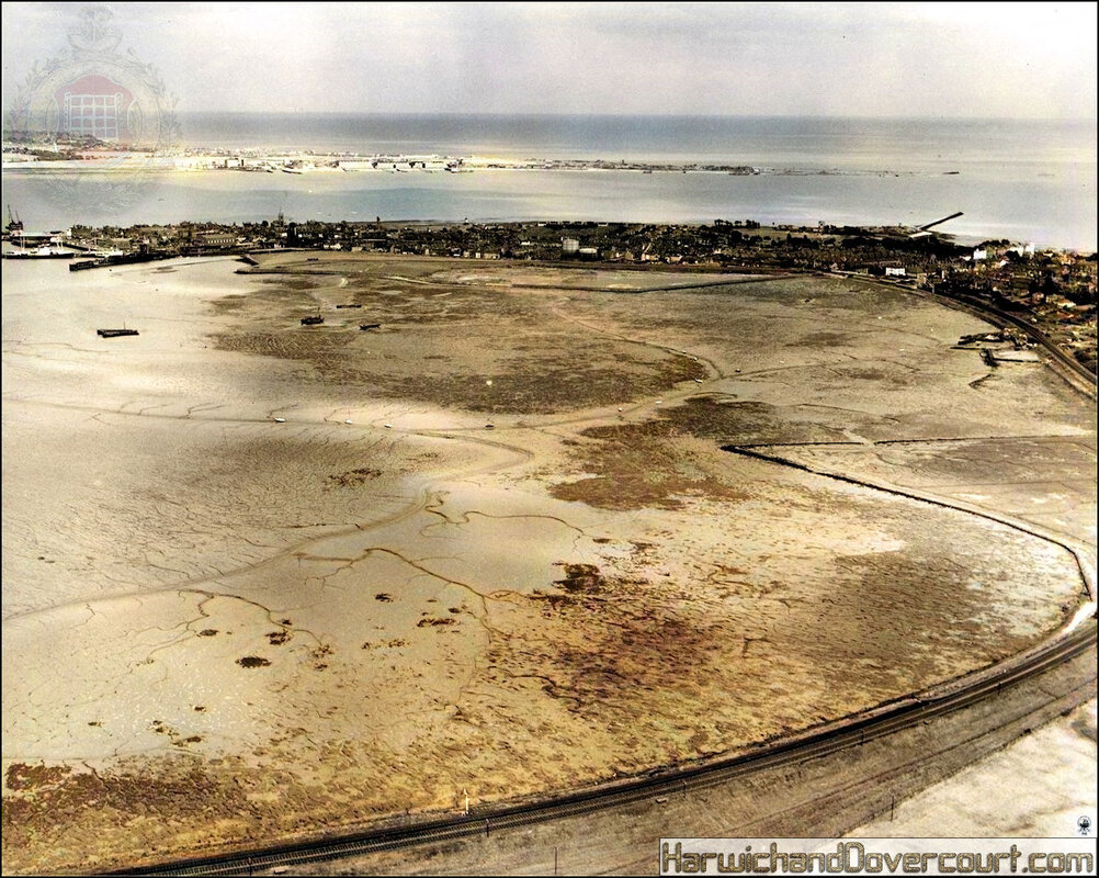
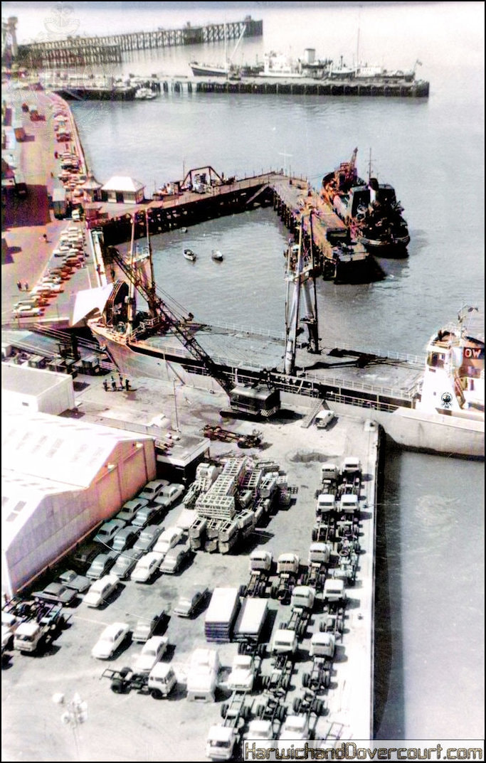
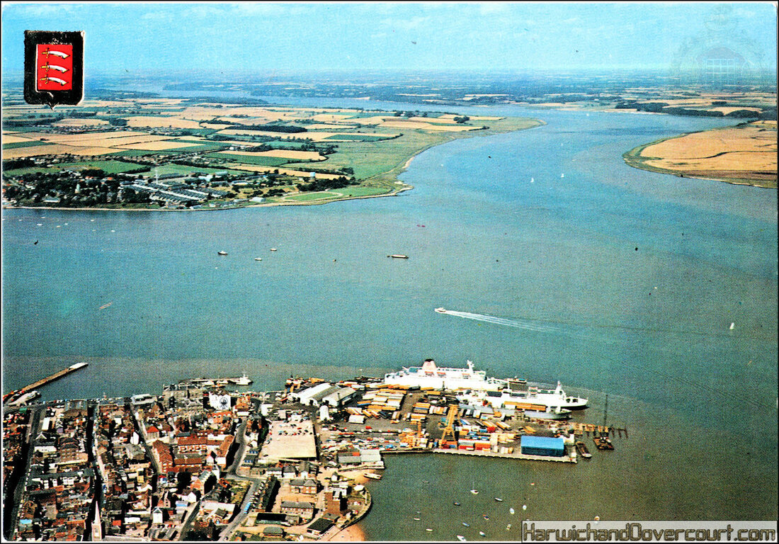
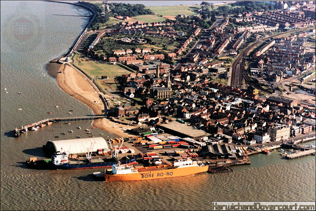
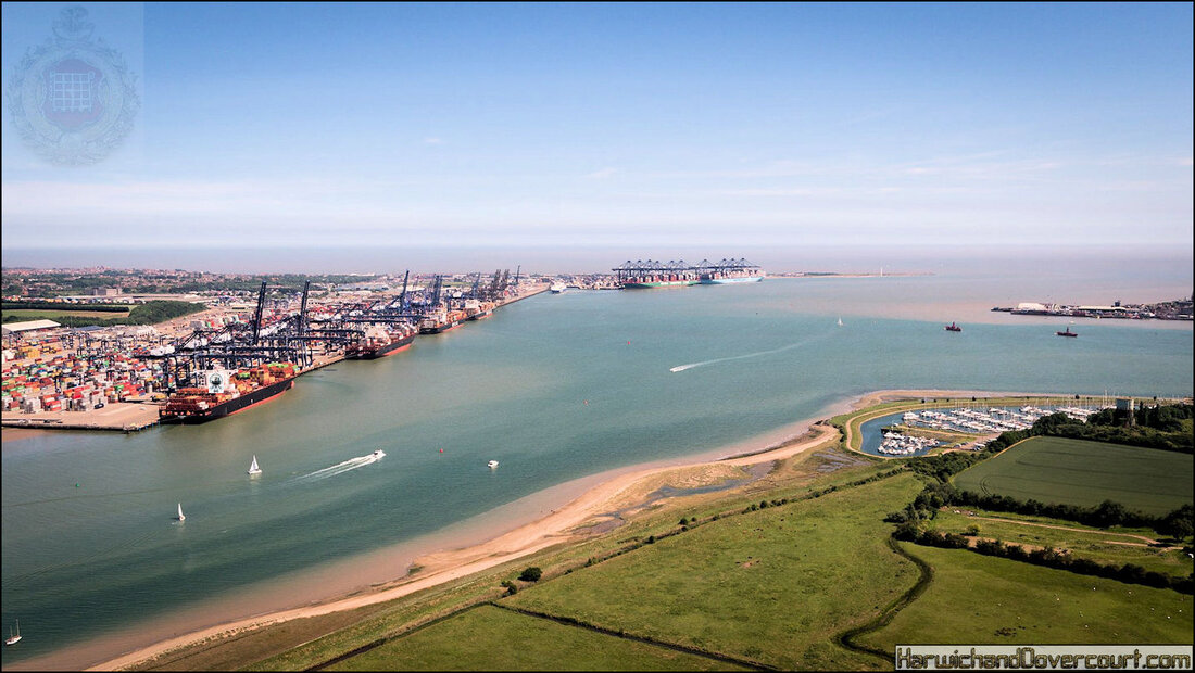
Aerial Photography
This photography was first practised by the French photographer and balloonist Gaspard-Félix Tournachon, known as "Nadar", in 1858 over Paris, France. However, the photographs he produced no longer exist and therefore the earliest surviving aerial photograph is titled Boston, "As the Eagle and the Wild Goose See It". Taken by James Wallace Black and Samuel Archer King on October 13, 1860, it depicts Boston from a height of 630m.
Antique postcard using kite photo technique
Kite aerial photography was pioneered by British meteorologist E.D. Archibald in 1882. He used an explosive charge on a timer to take photographs from the air.Frenchman Arthur Batut began using kites for photography in 1888, and wrote a book on his methods in 1890.Samuel Franklin Cody developed his advanced 'Man-lifter War Kite' and succeeded in interesting the British War Office with it's capabilities.
The first use of a motion picture camera mounted to a heavier-than-air aircraft took place on April 24, 1909 over Rome in the 3:28 silent film short, Wilbur Wright und seine Flugmaschine.
The use of aerial photography rapidly matured during the war, as reconnaissance aircraft were outfitted with cameras to record enemy movements and defences. At the start of the conflict, the usefulness of aerial photography was not fully appreciated, with reconnaissance being accomplished with map sketching from the air.
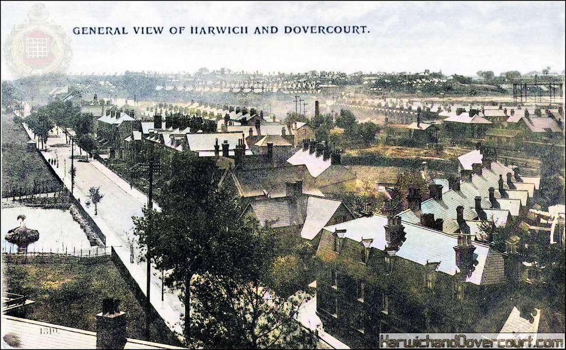
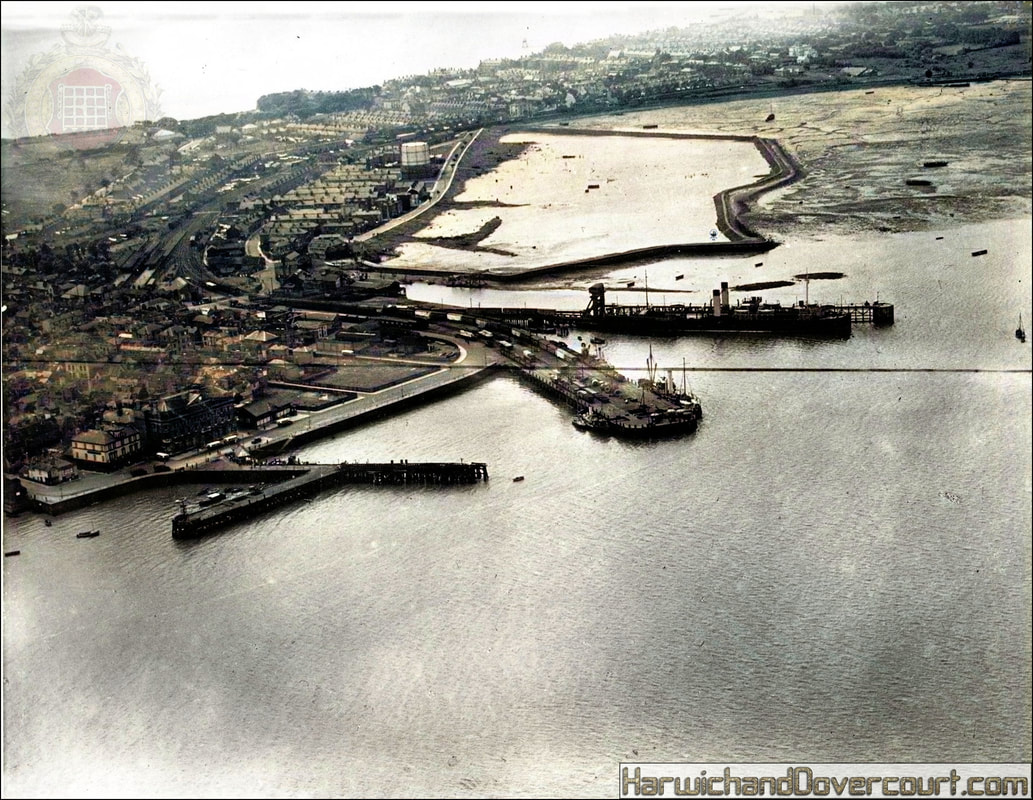
01 General View of Harwich & Dovercourt (1914) H&D FW
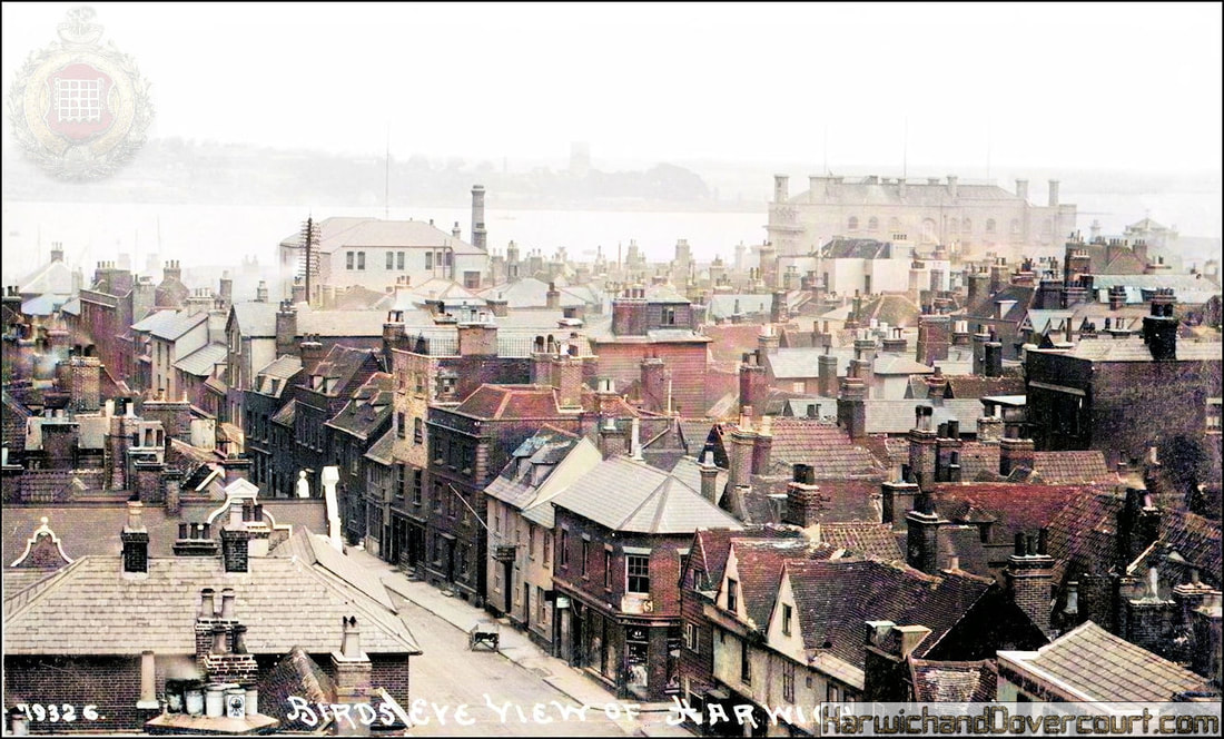
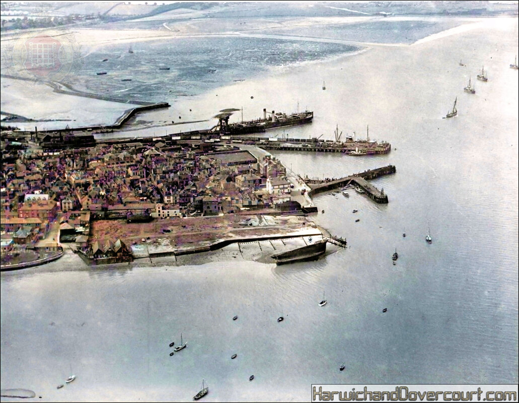
02 79326 Birdseye View of Harwich (1921) Bells H&D FW
The high density housing, reflects the medieval street pattern , with the north - south running streets.
The "Spread Eagle Public House", is situated in the bottom right hand corner of the card.
The "Singer Sewing Machine shop" is now "Ferry Motors", while the Town Hall dominates the Harbour-side looking North towards Shotley,Suffolk.
This postcard was part of the Bell's Photography series , who produced cards for 45 years from 1905 - 1950.
Postcode for the nearest location is CO12 3DA click here for Google Earth imagery.
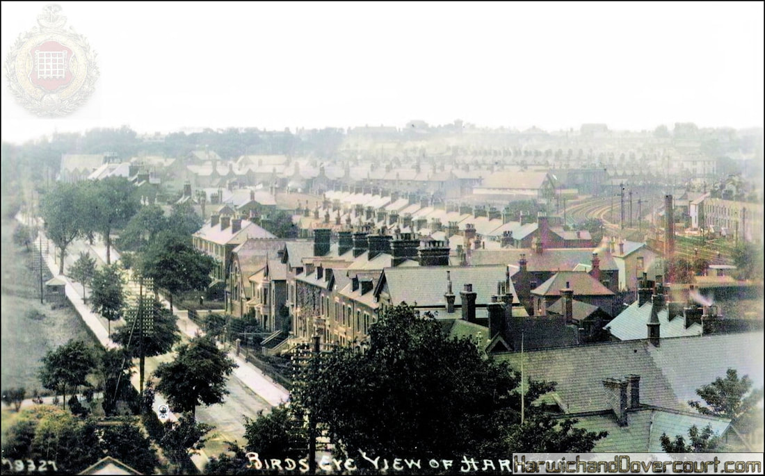
03 79327 Birds Eye View Of Harwich (1921) Bells H&D FW
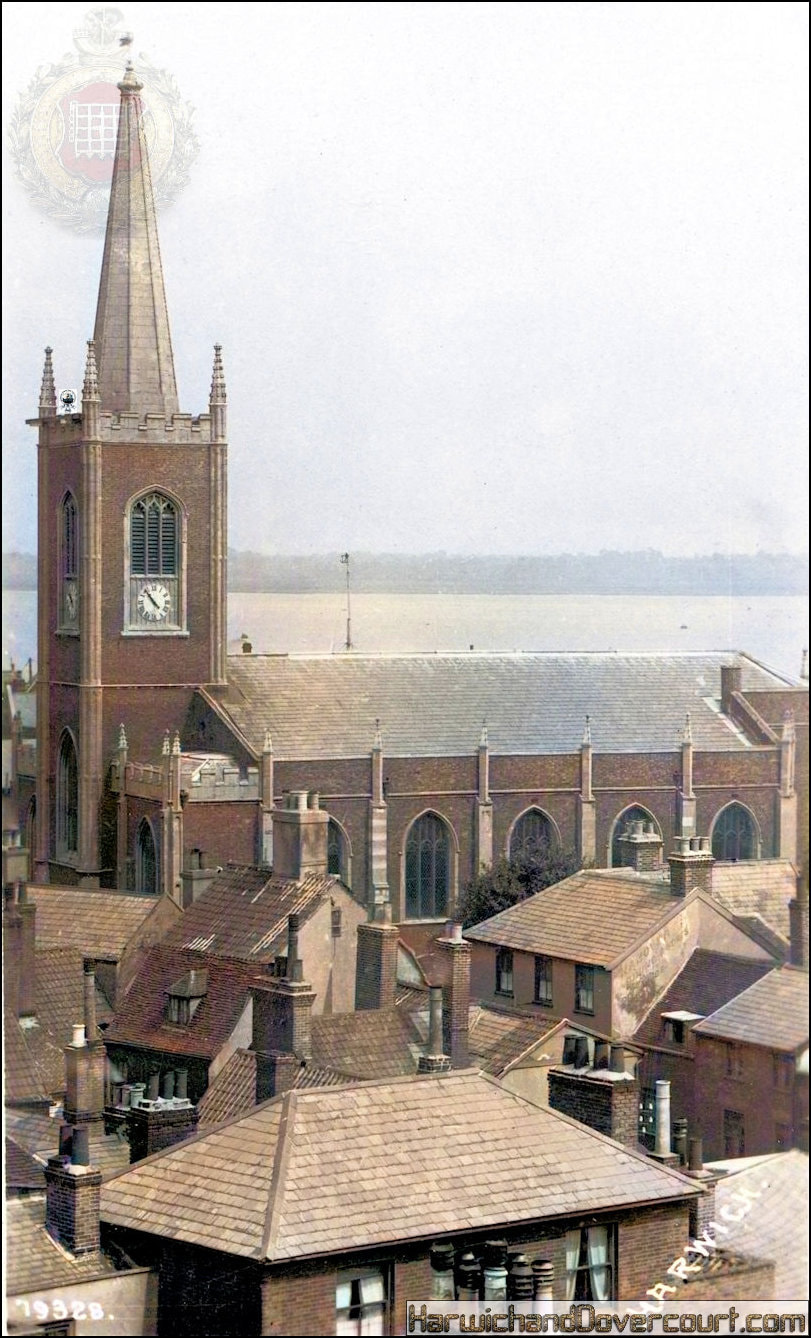
04 79328 Harwich & Hanover Roof Tops (1921) Bell's FW
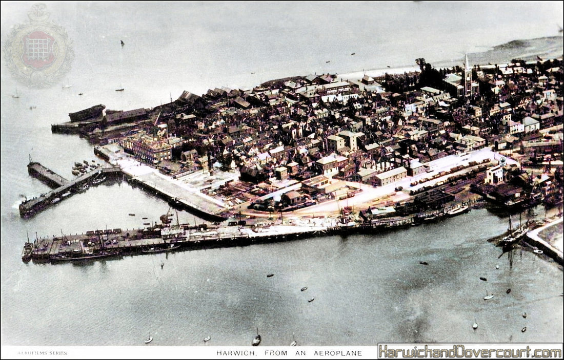
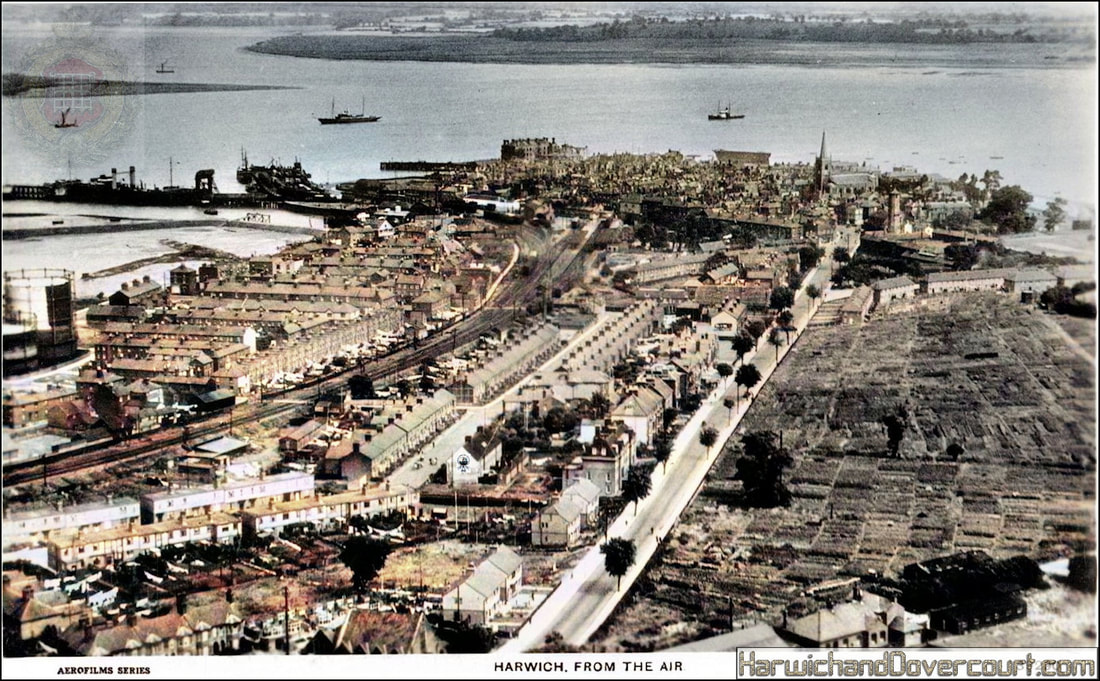
05 1904 Harwich From An Aeroplane (1923) Aerofilms Series H&D FW
This early view of Harwich from an aeroplane dates from around 1923, with a undamaged "Halfpenny" Pier (partly destroyed by fire in 1927) and the "Train Ferry Terminal" not built until 1924.
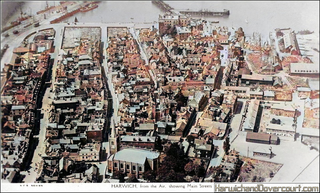
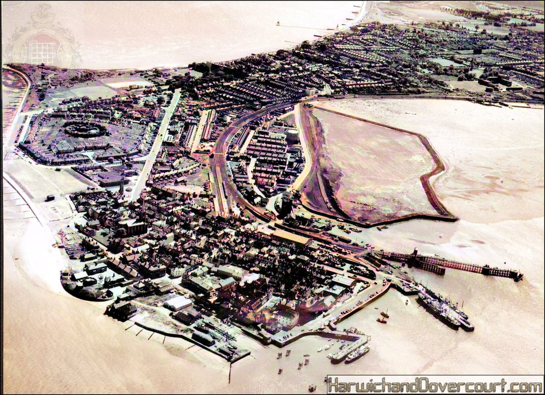
05a #3987, Harwich from the air, showing main streets (1930) SMS FW
This early aerial photo of Harwich, taken over 93 years ago clearly illustrates the medieval street plans of the town, with roads running North-South and East-West. ...
The Tread-wheel crane is still in its original position and ship-building, can be seen in the slipway, just to the left.
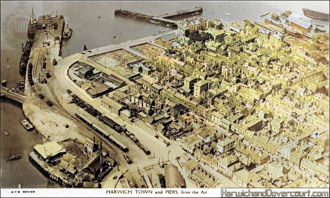
The newly opened Train Ferry (1924) is just out of view to the left side of the view, while the "charred" remains of the Ha'penny pier damaged by fire in 1927 can be seen at the top of the card.
